Catalog Archive
Auction 96, Lot 40
"Planiglob in Mercators Projection, zur Uebersicht der Erdfläche und der Seereisen, von Ad. St.", Stieler, Adolph
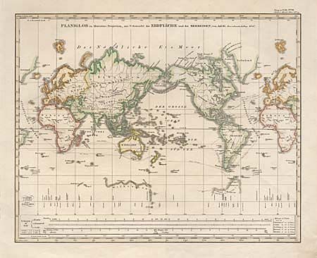
Subject: World
Period: 1847 (dated)
Publication: Stieler's Hand-Atlas
Color: Hand Color
Size:
14.5 x 11.5 inches
36.8 x 29.2 cm
Download High Resolution Image
(or just click on image to launch the Zoom viewer)
(or just click on image to launch the Zoom viewer)