Catalog Archive
Auction 96, Lot 231

"Carte de l'Isle de Saint Domingue Dressee au Depost des Cartes et Plans de la Marine. Pour le Service des Vaisseaux du Roy", Bellin, Jacques Nicolas
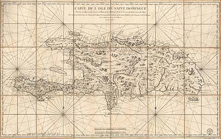
Subject: Hispaniola

Period: 1764 (dated)

Publication:

Color: Black & White

Size:
36.3 x 22.5 inches
92.2 x 57.2 cm
Download High Resolution Image
(or just click on image to launch the Zoom viewer)

This large chart of present day Haiti and the Dominican Republic was completed for the French Admiralty. The mountainous terrain on the island is vividly shown and the coastline includes the locations of settlements, forts, reefs, safe harbors, and fresh water. Segmented and linen backed with vellum tab labeled in manuscript brown ink. Imprint of the Depot de la Marine.

References:

Condition: A

Minor soiling, overall fine condition for a working sea chart.

Estimate: $800 - $850

Sold for: $700

Closed on 9/12/2001

Archived