Catalog Archive
Auction 96, Lot 147

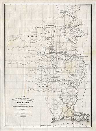
"Map Illustrating the plan of the defences of the Western & North-Western Frontier, as proposed by the Hon: J.R. Poinsett, Sec. of War, in his report of Dec. 30, 1837", Poinsett, J. R.

Subject: Central United States

Period: 1837 (dated)

Publication: Published Senate doc 65, 25th Cong, 2nd Session

Color: Black & White

Size:
15.5 x 21.5 inches
39.4 x 54.6 cm
Download High Resolution Image
(or just click on image to launch the Zoom viewer)

The map depicts the states of Missouri, Arkansas, Louisiana and Indian nations bordering them to the west. It locates many military forts and outposts from Ft. Jessup to Ft. Snelling with notations throughout, concerning lands ceded by several Indian nations with the dates of the treaties. It was drawn by W. Hood and was issued in conjunction with a similar proposal by Charles Gratiot (see lot 148). This map is the original issue and not to be confused with the re-issued version from the American State Papers, circa 1860.

References:

Condition: B

Several areas of faint foxing. Strong, crisp impression. Folding as issued.

Estimate: $450 - $550

Sold for: $250

Closed on 9/12/2001

Archived