Catalog Archive
Auction 95, Lot 79

"Carte des parties Nord et Ouest de l'Ameriques dressee d'apres les relations les plus authentiques", Robert de Vaugondy, Gilles

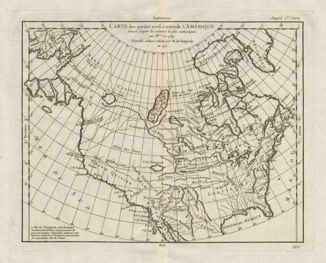
Subject: North America

Period: 1772 (dated)

Publication: Diderot's Encyclopedie

Color: Black & White

Size:
14.5 x 11.5 inches
36.8 x 29.2 cm
Download High Resolution Image
(or just click on image to launch the Zoom viewer)

De Vaugondy's rendition of Samuel Engel's map of 1764. The Asian and American coast have been altered slightly. The myth of a Northwest Passage continues to persist, here linking the "Detroit d Anian" with "L. Ouipipigon" by a system of rivers and a large "Lac des Conibas". There is also a "Riviere coulante a l'Ouest" which connects to another large lake "L. des Tahuglanuks". The Alaska peninsula is shown as a series of large islands. California here called Grand Quivira.

References: Pedley #453, Portinaro & Knirsch #155.

Condition: A

Crisp, strong impression on fine hand-laid paper with wide margins and watermark. A nice example of this map.

Estimate: $350 - $400

Sold for: $325

Closed on 6/13/2001

Archived