Catalog Archive
Auction 95, Lot 440

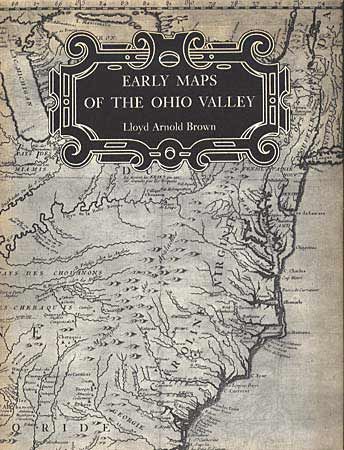
"Early Maps of the Ohio Valley", Brown, Lloyd Arnold

Subject: Cartographic Reference

Period: 1959 (published)

Publication: University of Pittsburgh Press

Color:

Size:
8.8 x 11.2 inches
22.4 x 28.4 cm
Download High Resolution Image
(or just click on image to launch the Zoom viewer)

Interesting early history of the upper Ohio River, told through a selection of 54 maps, plans, and views with text describing their importance and their makers. Historic illustrations and maps made by Indians and Colonists from 1673 to 1783. Plates in B & W, 132 pages. Hard bound in green cloth, dj..

References:

Condition: A

Very clean, fine copy.

Estimate: $200 - $250

Sold for: $180

Closed on 6/13/2001

Archived