Catalog Archive
Auction 95, Lot 174
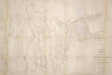
"Preliminary Map of Routes Reconnoitered and Opened in the Territory of Utah…", U.S. Government
Subject: Utah
Period: 1859 (dated)
Publication: Senate ex doc 40, 35th Cong., 2nd Session
Color: Black & White
Size:
44 x 29.7 inches
111.8 x 75.4 cm
Download High Resolution Image
(or just click on image to launch the Zoom viewer)
(or just click on image to launch the Zoom viewer)