Catalog Archive
Auction 93, Lot 495
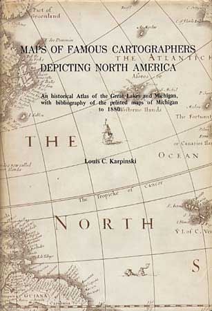
"Maps of Famous Cartographers Depicting North America", Karpinski, Louis C.
Subject: Cartographic Reference
Period: 1977 (published)
Publication: Meridian Publishing Co.
Color:
Size:
6.2 x 9 inches
15.7 x 22.9 cm
Download High Resolution Image
(or just click on image to launch the Zoom viewer)
(or just click on image to launch the Zoom viewer)