Catalog Archive
Auction 93, Lot 487

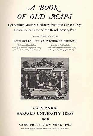
"A Book of Old Maps Delineating American History From the Earliest Days Down to the Close of the Revolutionary War", Fite & Freeman

Subject: Cartographic Reference

Period: 1969 (published)

Publication: Harvard University Press

Color:

Size:
11.2 x 16.2 inches
28.4 x 41.1 cm
Download High Resolution Image
(or just click on image to launch the Zoom viewer)

Delineates American history from the earliest days down to the close of the Revolutionary War. Each of the 75 b/w maps, made between 1474 and 1825, provides a picture of an important stage in the growth of America. A brief essay gives the background of the map itself and explains any historical information it reveals. Includes the controversial Vinland map. Hardbound with title in gold on front cover and spine, 275 pages.

References:

Condition: A

Slightly rubbed.

Estimate: $70 - $90

Sold for: $100

Closed on 12/6/2000

Archived