Catalog Archive
Auction 93, Lot 361
"Nova Hibernia", Hogg, Alexander
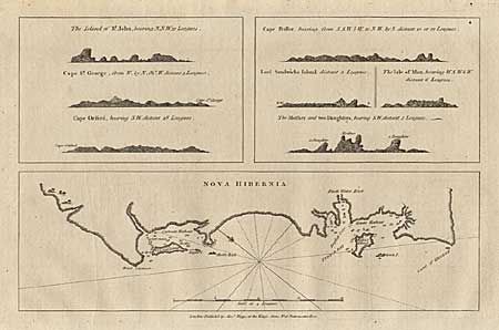
Subject: New Ireland - Bismark Archipelago
Period: 1784 (published)
Publication: A New Authentic and Complete Collection of Voyages Round the World
Color: Black & White
Size:
12.6 x 8.1 inches
32 x 20.6 cm
Download High Resolution Image
(or just click on image to launch the Zoom viewer)
(or just click on image to launch the Zoom viewer)