Catalog Archive
Auction 93, Lot 342

"Aphricae Tabula IIII", Munster/Petri

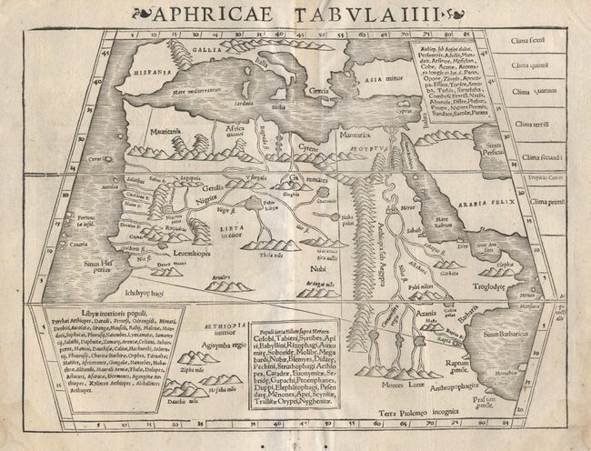
Subject: Northern Africa

Period: 1570 (circa)

Publication: Geographia

Color: Black & White

Size:
13.4 x 9.8 inches
34 x 24.9 cm
Download High Resolution Image
(or just click on image to launch the Zoom viewer)

Woodblock Ptolemaic map depicting all of Africa to about 24 deg. S, beyond which is labeled "Terra Ptolemeo incognito". The land is boldly shown with mountains, rivers and lakes, many of which are entirely spurious. The Nile River rises from the "Montes Lunae". Within the trapezoidal projection are three Latin text legends describing the inhabitants of the continent.

References: Norwich #291.

Condition: A

Light damp stain just entering neatlines at bottom and a couple of worm holes in bottom margin. Overall a nice impression, on sturdy paper.

Estimate: $220 - $250

Sold for: $180

Closed on 12/6/2000

Archived