Catalog Archive
Auction 93, Lot 285

"Tabula Geographica Italiae", Vadianus, Joachim
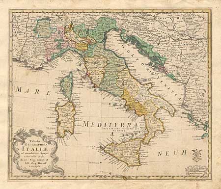
Subject: Italy

Period: 1753 (published)

Publication: Atlas Geographicus Omnes Orbis Terrarum Regiones…

Color: Hand Color

Size:
14.8 x 12.2 inches
37.6 x 31 cm
Download High Resolution Image
(or just click on image to launch the Zoom viewer)

A scarce and decorative map in original color produced for the Royal Prussian Academy of Sciences. Includes Sardinia, Corsica, Sicily and much of the Balkans. Decorative sea shell cartouche. A small library stamp lower right has not been identified. Trimmed to just outside neatline and mounted on a larger sheet of fine 18th century paper for binding into a composite atlas (a common practice at the time). Hand numbered page 13.

References: Phillips (A) #3500.

Condition: B

Hand numbered page 13.

Estimate: $200 - $250

Sold for: $130

Closed on 12/6/2000

Archived