Catalog Archive
Auction 93, Lot 209

"A Map of England & Wales", Hurst (family)

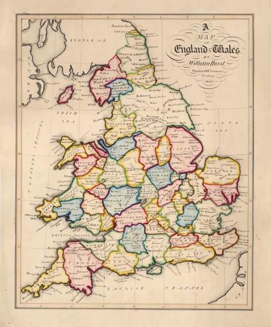
Subject: England & Wales

Period: 1850 (dated)

Publication: Standard Hill Academy

Color: Hand Color

Size:
13.9 x 17.2 inches
35.3 x 43.7 cm
Download High Resolution Image
(or just click on image to launch the Zoom viewer)

Original MANUSCRIPT map outlining England and Wales and divided into counties. The title is in beautiful calligraphy and attributes Standard Hill Academy, Christmas 1850. The map is finely rendered in ink and hand-colored with water color. Charming and very unusual map.

References:

Condition: A+

Charming and very unusual map.

Estimate: $200 - $250

Sold for: $150

Closed on 12/6/2000

Archived