Catalog Archive
Auction 93, Lot 138

"Map of Minnesota Territory", Young, James H.
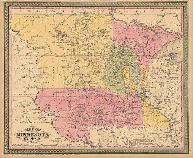
Subject: Minnesota

Period: 1852 (published)

Publication: Thomas Cowperthwaite & Co.

Color: Hand Color

Size:
16 x 13.2 inches
40.6 x 33.5 cm
Download High Resolution Image
(or just click on image to launch the Zoom viewer)

A great, early map on the region. Minnesota extends to the Missouri River with most of the territory divided into Dahkotah and Pembinan. Recent information on the Chippewa and Sioux treaties of 1851 is contained in a note at bottom. The location of several forts on the Missouri River are shown including Fort Mandan where Lewis & Clarke ar noted to have wintered in 1804-05. The territory was created in 1849 and granted statehood in 1858.

References:

Condition: A

Estimate: $120 - $150

Sold for: $120

Closed on 12/6/2000

Archived