Catalog Archive
Auction 92, Lot 71

"America noviter delineata", Cloppenburg, Johannes

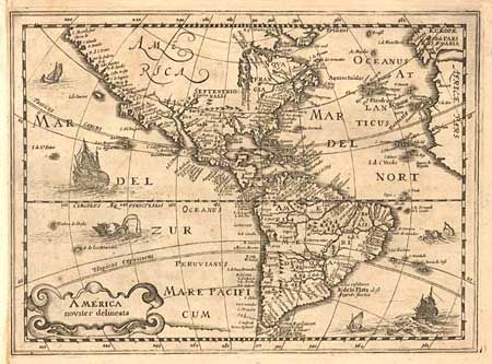
Subject: Western Hemisphere

Period: 1676 (published)

Publication:

Color: Black & White

Size:
10 x 7.3 inches
25.4 x 18.5 cm
Download High Resolution Image
(or just click on image to launch the Zoom viewer)

Uncommon map of the Americas first issued in the Mercator-Hondius Atlas Minor in 1630-36. The plate then disappeared for nearly forty years. This example was issued in either "Introductionis in Universam" or "Nieuwe en beknopte Uytbeeldinghe…" both published in 1676. The cartography is unmistakably based on Hondius with the inaccurate mid-Atlantic coastline, and the sweeping northwest coastline, in North America. The mythical islands of Brasil and Frislant appear in the North Atlantic. Hudson Bay is left open-ended for the possibility for a Northwest Passage. The map is decorated with sailing ships, fishing boats, sea monsters and a title cartouche. State #1 with blank verso and no pagination.

References: Burden #224.

Condition: A

Remargined at binding side, manuscript page number in upper right and light toning.

Estimate: $900 - $1,000

Sold for: $950

Closed on 9/13/2000

Archived