Catalog Archive
Auction 92, Lot 330

"The Kingdom of Korea (called by the Chinese Kau-Li-Qua and by the Manchew Solho Koron)", Du Halde/D'Anville
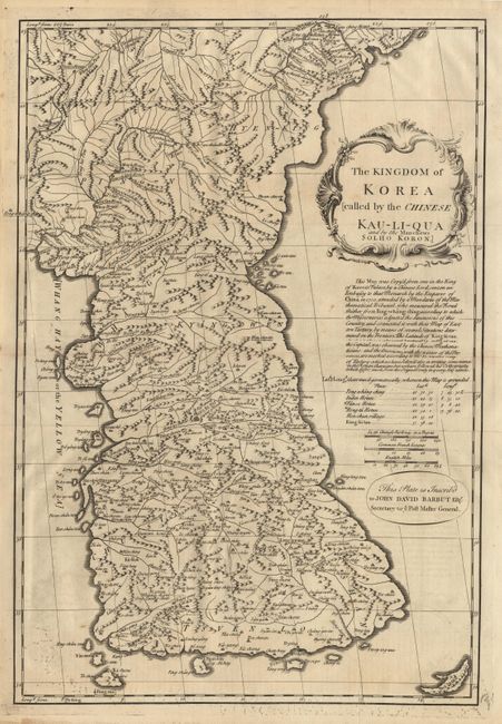
Subject: Korea

Period: 1738-41 (published)

Publication: A Description of the Empire of China and Chinese Tartary

Color: Black & White

Size:
13.7 x 20.2 inches
34.8 x 51.3 cm
Download High Resolution Image
(or just click on image to launch the Zoom viewer)

This map is one of the earliest to show the Korean Peninsula as a separate region. A notation on the map attributes the basis of the map to one which was copied ""from one in the King of Korea's Palace by a Chinese Lord, sent on an Embassy to that Monarch by the Emperor of China in 1710"". Even so, the peninsula is a bit distorted, but covered with fascinating detail. Below the fine title cartouche is a dedication to John David Barbut (Secretary to the Post Master General). A scarce and important map; the first separate map of Korea printed in English.

References:

Condition: A

Couple of printer's creases affecting some text, else fine.

Estimate: $1,000 - $1,200

Sold for: $700

Closed on 9/13/2000

Archived