Catalog Archive
Auction 92, Lot 278
"Gallarium Descriptio", Robert de Vaugondy, Gilles
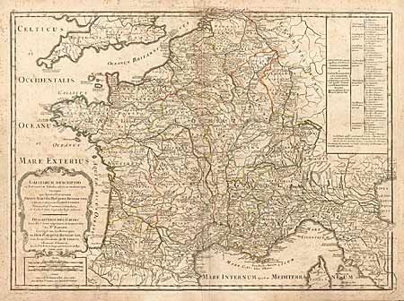
Subject: France
Period: 1795 (circa)
Publication:
Color: Hand Color
Size:
26.5 x 19.5 inches
67.3 x 49.5 cm
Download High Resolution Image
(or just click on image to launch the Zoom viewer)
(or just click on image to launch the Zoom viewer)