Catalog Archive
Auction 92, Lot 195
"Red River County, Texas", U.S. Government
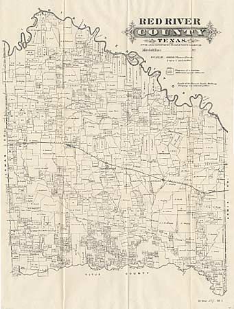
Subject: Texas
Period: 1875 (circa)
Publication: HR doc. #527, 56th Congress, 1st Session
Color: Black & White
Size:
17 x 21 inches
43.2 x 53.3 cm
Download High Resolution Image
(or just click on image to launch the Zoom viewer)
(or just click on image to launch the Zoom viewer)