Catalog Archive
Auction 91, Lot 72

"Nieuwe kaart van America",

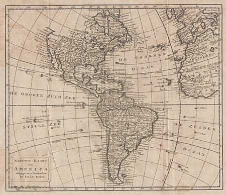
Subject: Western Hemisphere

Period: 1765 (circa)

Publication:

Color: Black & White

Size:
12.5 x 10.9 inches
31.8 x 27.7 cm
Download High Resolution Image
(or just click on image to launch the Zoom viewer)

A nice copper engraved map of the Americas with good detail throughout. The British colonies are confined east of the Appalachians, the French control both Louisiana and Florida. California is correctly shown as an peninsula with a short east-west oriented coastline directly above "C. Blank" and nothing above that. South America is well mapped with the interior marked "T Land der Amazonen". Map includes part of Europe and Africa as well. Folding as issued, with a bit of light offsetting and foxing.

References:

Condition: B

Estimate: $230 - $300

Sold for: $150

Closed on 6/14/2000

Archived