Catalog Archive
Auction 91, Lot 227
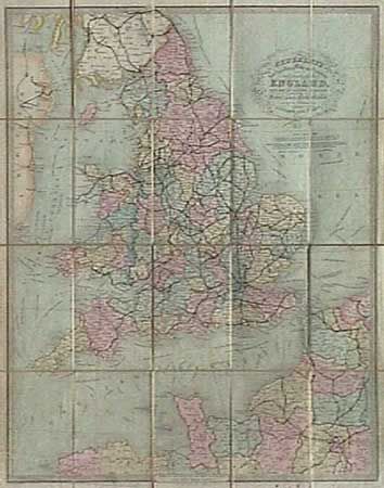
"Cruchley's New Travelling Map and Itinerary Comprising the whole of England, with part of Scotland and Ireland and a Portion of France and the Netherlands shewing the Communication between London and Paris",
Subject: England
Period: 1841 (dated)
Publication:
Color: Hand Color
Size:
20 x 24.5 inches
50.8 x 62.2 cm
Download High Resolution Image
(or just click on image to launch the Zoom viewer)
(or just click on image to launch the Zoom viewer)