Catalog Archive
Auction 91, Lot 156

"Indiana",
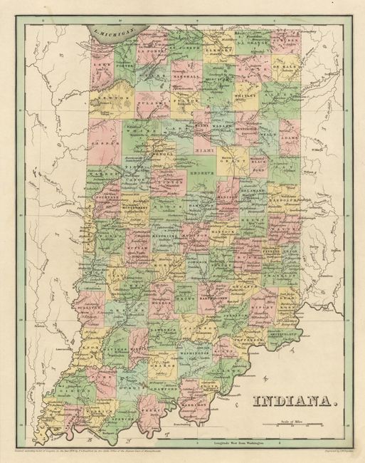
Subject: Indiana

Period: 1838 (dated)

Publication: General Atlas of the World

Color: Hand Color

Size:
11.2 x 14.4 inches
28.4 x 36.6 cm
Download High Resolution Image
(or just click on image to launch the Zoom viewer)

Copper engraving by G.W. Boynton, on heavy paper with colored counties and borders. Fine map of the state at the outset of the 1840's. Shows topographical, geographical and political and other details. A large tract of land at the center of the state marked "Miami reserve". The emerging railroad network is noted, as well as an extensive canal system. Map dated 1838, but published in 1841.

References:

Condition: A+

Estimate: $100 - $130

Sold for: $95

Closed on 6/14/2000

Archived