Catalog Archive
Auction 91, Lot 104
"Costes et Rivieres de Virginie, de Mariland et de Nouvelle, Angletere",
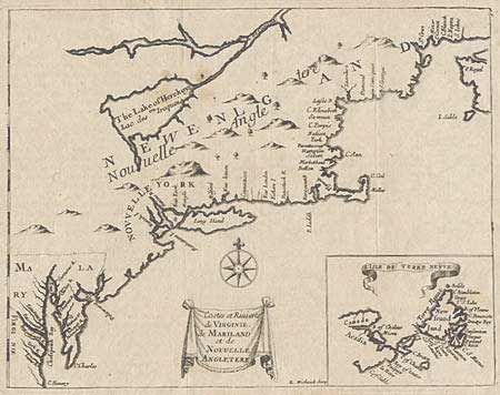
Subject: Colonial Canada and United States
Period: 1684 (published)
Publication: Recueil de Divers Voyages Feits en Afrique et en Amerique (1684)
Color: Black & White
Size:
7.5 x 9.7 inches
19.1 x 24.6 cm
Download High Resolution Image
(or just click on image to launch the Zoom viewer)
(or just click on image to launch the Zoom viewer)