Catalog Archive
Auction 90, Lot 67

"Partie de la Carte du Capitaine Cluny...a Londres en 1769",

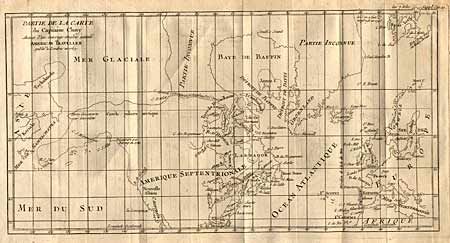
Subject: North America

Period: 1769 (dated)

Publication: Diderot's Encyclopedie

Color: Black & White

Size:
16 x 8.2 inches
40.6 x 20.8 cm
Download High Resolution Image
(or just click on image to launch the Zoom viewer)

Depicts North America from above the Arctic Circle, to the Gulf of Mexico. The most important feature of the map is the early depiction of today's Alaska, that is patterned after Muller's epic map of 1750, which was the first to show the Russian discoveries, also noted here. A very interesting Northwest Passage is shown going from Repulse Bay in the north part of Hudson's Bay over into the Arctic Ocean at a place called Cape Fowler. Good detail of Baffins Bay and Hudson Bay. Ref: Wagner (NW) #637. Folding as issued. Minor surface offsetting that can easily be erased. Very sharp impression and thick paper.

References:

Condition: A+

Estimate: $130 - $150

Sold for: $140

Closed on 3/15/2000

Archived