Catalog Archive
Auction 89, Lot 188

"Gallia Postarum geographice designata…",
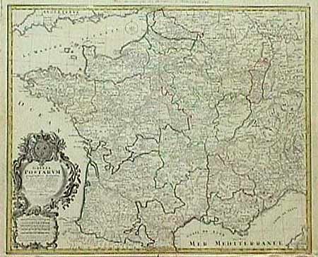
Subject: France

Period: 1745 (dated)

Publication:

Color: Hand Color

Size:
22.2 x 20 inches
56.4 x 50.8 cm
Download High Resolution Image
(or just click on image to launch the Zoom viewer)

Extremely detailed map of France showing all the postal routes and offices throughout. The map was originally drawn in 1738 by Jaillot and updated here by the Homann firm. Large decorative title cartouche including two postmen galloping on their trusty steeds. Short split on bottom fold, else very good.

References:

Condition: B

Estimate: $150 - $180

Sold for: $75

Closed on 12/8/1999

Archived