Catalog Archive
Auction 88, Lot 59
"North America", Gray
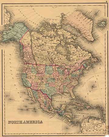
Subject: North America
Period: 1870 (circa)
Publication:
Color: Hand Color
Size:
12 x 14.7 inches
30.5 x 37.3 cm
Download High Resolution Image
(or just click on image to launch the Zoom viewer)
(or just click on image to launch the Zoom viewer)