Catalog Archive
Auction 192, Lot 45

"Orbis Terrarum Veteribus Cogniti Typus ad Mentem Veterum Geographorum", Weigel, Christopher

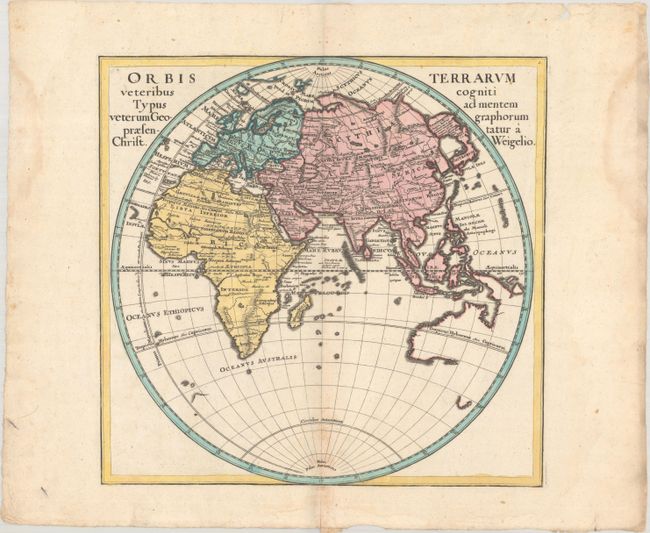
Subject: Eastern Hemisphere

Period: 1720 (circa)

Publication: Descriptio Orbis Antiqui in XLIV. Tabulis...

Color: Hand Color

Size:
13.5 x 13.1 inches
34.3 x 33.3 cm
Download High Resolution Image
(or just click on image to launch the Zoom viewer)

An attractive map of the Eastern Hemisphere with the Prime Meridian running through the Canary Islands, the furthest western point according to Ptolemy. The map identifies ancient regions and cities throughout Europe, Asia and Africa, but the overall cartography is up-to-date. Japan is joined with a large island labeled Terra Incognita, and Australia is beginning to take shape with Tasman's discoveries in the region.

References: Shirley (BL Atlases) T.WEIG-2a #1.

Condition: B+

A nice impression on a bright sheet with minor toning along the centerfold and light dampstains along the edges of the sheet, well away from the image.

Estimate: $350 - $425

Sold for: $250

Closed on 4/26/2023

Archived