Catalog Archive
Auction 191, Lot 833

Features the Republic of Texas in Its Largest Configuration

"Olney's School Atlas", Olney, A. N.

Subject: School Atlases, Texas

Period: 1844 (published)

Publication:

Color: Hand Color

Size:
9.8 x 12.3 inches
24.9 x 31.2 cm
Download High Resolution Image
(or just click on image to launch the Zoom viewer)
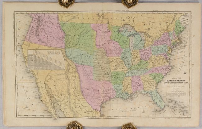
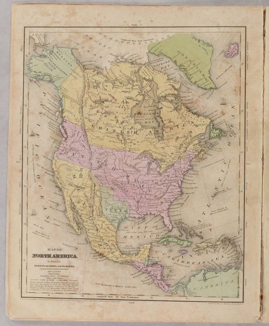
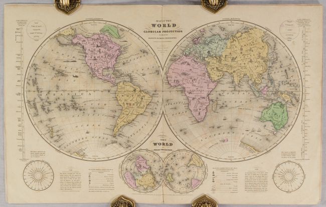
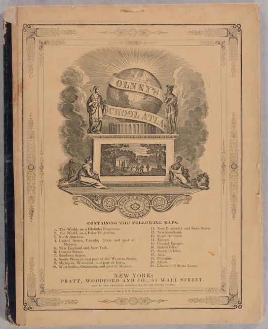
This is a complete example of Olney's atlas with 21 maps on 8 double-page and 6 single-page sheets including several related to the United States as well as maps of the world and continents. Of particular interest is the map of the United States, which features the large Independent Republic of Texas in its last full year as a republic. Austin is identified as the capital with many towns named including Houston, San Antonio de Bexar, and Columbus. To the west is a small region named Santa Fe or New Mexico. The huge Indian Territory to the north extends up to the Mandan District. A large table of distances obscures much of northern California. The huge Oregon Territory reaches to the Continental Divide and well north into British America as part of the 54°50' or Fight controversy with England. The map has terrific territorial configurations and is filled with information on forts, Indian tribes, waterways and more. Also of interest is the double-hemisphere world map, which includes quaint little vignettes including Indians and bison in North America, lions and elephants in Africa, a pagoda in China, and a kangaroo in Australia. See images for a complete list of maps on the front cover. Published by Pratt, Woodford & Co., New York.

References:

Condition: B

Contemporary color with light toning and scattered foxing. Covers have light wear with a small chip at the top of the spine.

Estimate: $400 - $475

Sold for: $300

Closed on 2/8/2023

Archived