Catalog Archive
Auction 191, Lot 391

"Carte des Antilles Francoises et des Isles Voisines Dressee sur les Memoires Manuscrits de Mr. Petit Ingenieur du Roy...", Delisle/Covens & Mortier

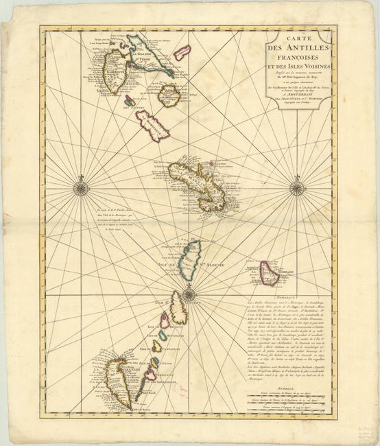
Subject: Lesser Antilles

Period: 1730 (circa)

Publication:

Color: Hand Color

Size:
17.6 x 23.2 inches
44.7 x 58.9 cm
Download High Resolution Image
(or just click on image to launch the Zoom viewer)

This beautiful chart is the first state of Delisle's map of the Antilles that extends from Guadeloupe to Grenada and includes Barbados. Numerous place names are shown, as are the locations of forts, churches, rivers and more. The most remarkable feature is the upside-down depiction of Grenada. The chart is centered on a large compass rose.

References: Tooley (MCC-33) #55.

Condition: B+

A sharp impression with contemporary outline color on a sturdy sheet with light soiling. There is moderate soiling and a chip at top left.

Estimate: $200 - $230

Sold for: $100

Closed on 2/8/2023

Archived