Catalog Archive
Auction 191, Lot 22

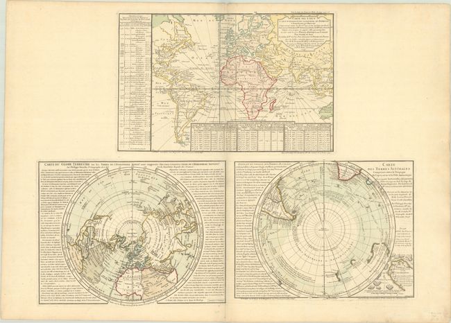
"Carte des Lieux ou les Differentes Longueurs du Pendule… [on sheet with] Carte du Globe Terrestre ou les Terres de l'Hemisphere Meridl. [and] Carte des Terres Australes…", Buache, Philip
Subject: World

Period: 1754 (circa)

Publication: Cartes et Tables de la Geographie Physique…

Color: Hand Color

Size:
25.9 x 19.8 inches
65.8 x 50.3 cm
Download High Resolution Image
(or just click on image to launch the Zoom viewer)

Three fine maps (approximately 13 x 9.5") printed on a single large sheet. First is a map of the world on Mercator's projection showing various astronomical observations taken during the seventeenth and early eighteenth centuries. The bottom two maps are polar projections. The Northern Hemisphere is a very unusual map with north and south poles depicted on the same sphere by superimposing one on the other. The map of the Southern Hemisphere shows the tracks of recent explorations and includes a "Plan et Vue des Terres du Cap de la Circoncision," an imaginary part of Antarctica. Dated 1739-46 but published circa 1754-57.

References:

Condition: A

Contemporary color on a sturdy sheet with the watermark of a Maltese cross encircled in rosary beads, and a hint of toning and offsetting.

Estimate: $550 - $700

Unsold

Closed on 2/8/2023

Archived