Catalog Archive
Auction 190, Lot 586

"L'Asie Divisee en ses Empires, Royaumes, et Etats Corrigee & Rectifice", Elwe, Jan Barend
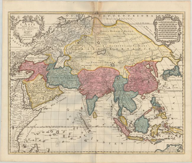
Subject: Asia

Period: 1792 (dated)

Publication:

Color: Hand Color

Size:
22.9 x 18.5 inches
58.2 x 47 cm
Download High Resolution Image
(or just click on image to launch the Zoom viewer)

This attractive map of Asia was copied from the Ottens issue of Jaillot's map, which itself was based on the Sanson-Jaillot map of 1692. A century later, the delineation of Siberia and Japan is quite obsolete. The island of Hokkaido is attached to the mainland as part of the Yupi peninsula. Korea appears as an elongated peninsula, and the mythical Lac de Chiamay is shown as the source of five major rivers in Cochinchine. The northern coastline of Australia (Nouvelle Hollande) is included based on the Delisle configuration of 1705. The upper corners contain decorative cartouches with the title and and distance scales.

References: Yeo #208.

Condition: B

A crisp impression with full contemporary color on a bright sheet with a few minor printer's creases. There is a dampstain along the centerfold at top with a resulting chip in the top margin that has been archivally repaired, with minute loss of image. There are some faint gray shadows in the image that are caused by our scanner and do not appear on the map itself.

Estimate: $450 - $550

Sold for: $325

Closed on 11/16/2022

Archived