Catalog Archive
Auction 190, Lot 371

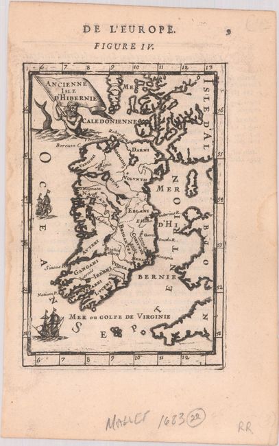
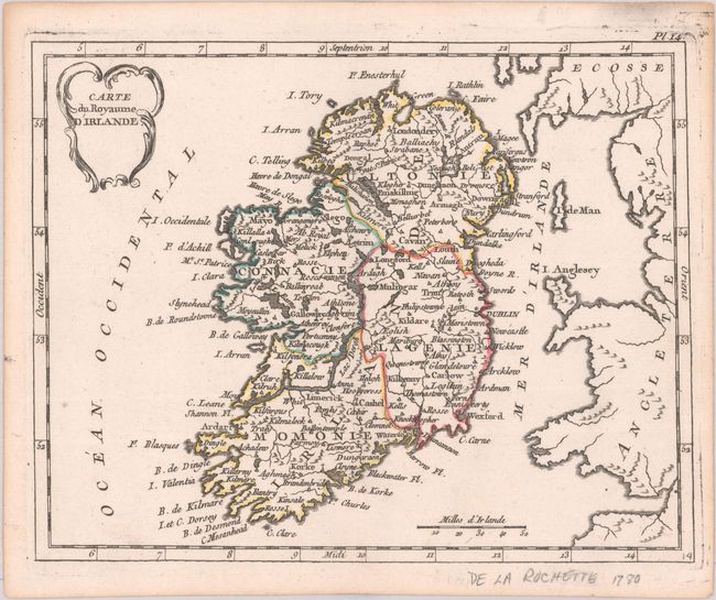
"[Lot of 2] Ancienne Isle d'Hibernie [and] Carte du Royaume d'Irlande",

Subject: Ireland

Period: 1683-1780 (circa)

Publication:

Color:

Size:
See Description
Download High Resolution Image
(or just click on image to launch the Zoom viewer)

A. Ancienne Isle d'Hibernie, by Alain Manesson Mallet, from Description de l' Univers, circa 1683, black & white (3.9 x 5.8"). This charming miniature map of Ireland names the ancient tribes. A merman hoists a flag containing the title. Two sailing ships decorate the seas. French text on verso. Reference: Pastoureau, MANESSON-MALLET A [509]. Condition: A nice impression on watermarked paper with minor dampstains confined to the blank margins.

B. Carte du Royaume d'Irlande, by Joseph de Laporte, from Atlas Moderne Portatif, circa 1780, hand color (8.8 x 6.9"). This finely engraved smaller map of Ireland is divided into provinces. Part of England is to the east, and the islands of Anglesey and Man are located. The distance scale is in Irish miles. A rococo-style title cartouche at top left accents the delicate composition. Condition: A crisp impression, near fine.

References:

Condition: A

See description above.

Estimate: $160 - $190

Sold for: $60

Closed on 11/16/2022

Archived