Catalog Archive
Auction 190, Lot 351

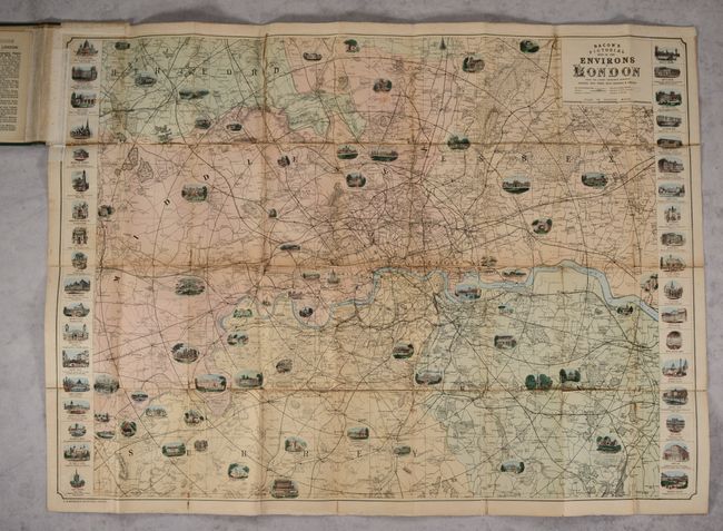
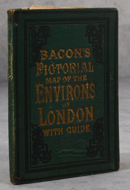
"Bacon's Pictorial Map of the Environs of London from the Latest Ordnance Surveys...", Bacon, G. W. & Company

Subject: London, England

Period: 1885 (circa)

Publication:

Color: Hand Color

Size:
35.3 x 25.8 inches
89.7 x 65.5 cm
Download High Resolution Image
(or just click on image to launch the Zoom viewer)

This richly detailed and well-illustrated map of London and its surroundings spans from Waltham Cross south to Epsom Downs, and from Windsor Castle east to Beacon Hill. Throughout the map are several illustrations of notable churches, palaces, colleges and more. At left and right are columns of additional illustrations depicting the most famous sites in London, among them St. Paul's Cathedral, the Tower of London, the Houses of Parliament, Buckingham Palace, the British Museum, Trafalgar Square, and Albert Hall. The map divides the area into three mile squares and circles. The key in the title cartouche identifies railways and the boundaries of counties, postal districts, parliamentary boroughs, and parishes. Dissected and backed in linen. Folds into green cloth boards with gilt embossed title on the front cover. The pastedown features an 8-page visitor guide.

References:

Condition: B

The map has light foxing and some small chips and separations along the folds, now backed in linen. Map is attached to rear board with linen on recto in the top left corner. Covers are good with light wear along the spine and edges and some soiling.

Estimate: $180 - $220

Sold for: $110

Closed on 11/16/2022

Archived