Catalog Archive
Auction 190, Lot 33

"Hemisphere Septentrional pour voir Plus Distinctoment les Terres Arctiques", Delisle, Guillaume
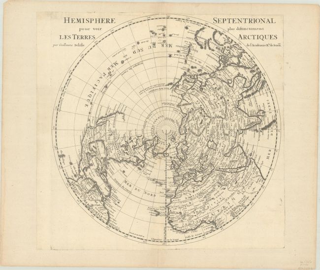
Subject: North Pole

Period: 1715 (circa)

Publication:

Color: Black & White

Size:
17.9 x 18 inches
45.5 x 45.7 cm
Download High Resolution Image
(or just click on image to launch the Zoom viewer)

This example is a close copy of Delisle's map published in 1714, but omits his address and the date in the title. Delisle's important map of the Northern Hemisphere is drawn with his characteristic scientific approach. This was the first map to correctly place the west coast of North America, moving it substantially east from previous mapping. California is shown as a peninsula at a time when it was often still shown as an island, even in other maps drawn by Delisle, although a dotted line still hints at the possibility of the island form. Near the northern coast of Asia is Terre de la Compagnie with a note about its discovery by Jean de Gama. Delisle based his depiction of the Northern Pacific on the voyage of Fondant in 1709.

References: cf. Wagner #504.

Condition: A

A crisp impression on a bright sheet, issued folding, and then flattened and trimmed to the platemark and pasted onto a larger sheet. There is some extraneous creasing, mostly confined to the blank margins.

Estimate: $350 - $425

Sold for: $275

Closed on 11/16/2022

Archived