Catalog Archive
Auction 188, Lot 604

"Terra Sancta quae in Sacris Terra Promissionis olim Palestina", Blaeu, Willem
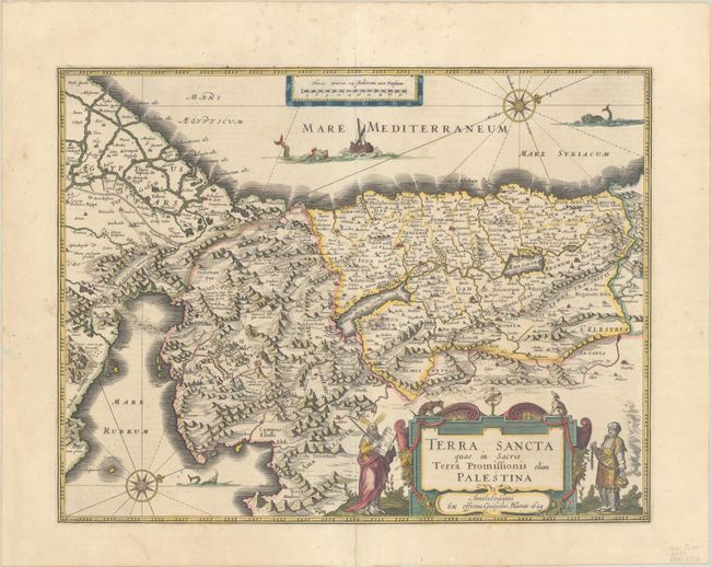
Subject: Holy Land

Period: 1629 (dated)

Publication: Theatrum Orbis Terrarum

Color: Hand Color

Size:
19.4 x 15 inches
49.3 x 38.1 cm
Download High Resolution Image
(or just click on image to launch the Zoom viewer)

Magnificent map of the Holy Land, viewed as Moses would have seen it from atop Mt. Pisgah in his vision of the Promised Land. The Exodus and the Wandering of the Children of Israel are depicted in the Sinai. Moses and Aaron flank the decorative cartouche, Jonah and the whale are shown in the sea, and the Pharaoh's forces are seen drowning in the Red Sea. The Mare Mortuum or Dead Sea is shown in a distorted shape with Sodom and Gommora burning within it. The map is oriented with west at the top by two lovely compass roses. This map was engraved by Jodocus Hondius and the plate was purchased by Blaeu who issued it under his own name. Latin text on verso, published in 1635.

References: Van der Krogt (Vol. II) #8150:2:2; Laor #106; Nebenzahl (HL) #42.

Condition: A

A crisp impression on a bright sheet with an archivally repaired centerfold separation at bottom and a few spots of foxing, mostly confined to the blank margins.

Estimate: $800 - $950

Unsold

Closed on 6/22/2022

Archived