Catalog Archive
Auction 186, Lot 398
NO RESERVE
"Der Atlantische Ocean", Stieler, Adolph
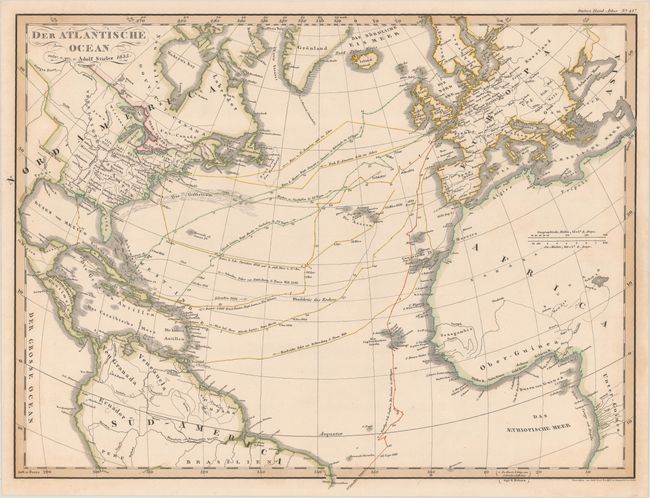
Subject: North Atlantic
Period: 1835 (dated)
Publication: Stieler's Hand-Atlas
Color: Hand Color
Size:
16.9 x 12.8 inches
42.9 x 32.5 cm
Download High Resolution Image
(or just click on image to launch the Zoom viewer)
(or just click on image to launch the Zoom viewer)