Catalog Archive
Auction 185, Lot 708

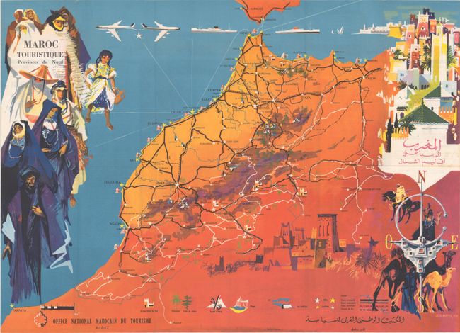
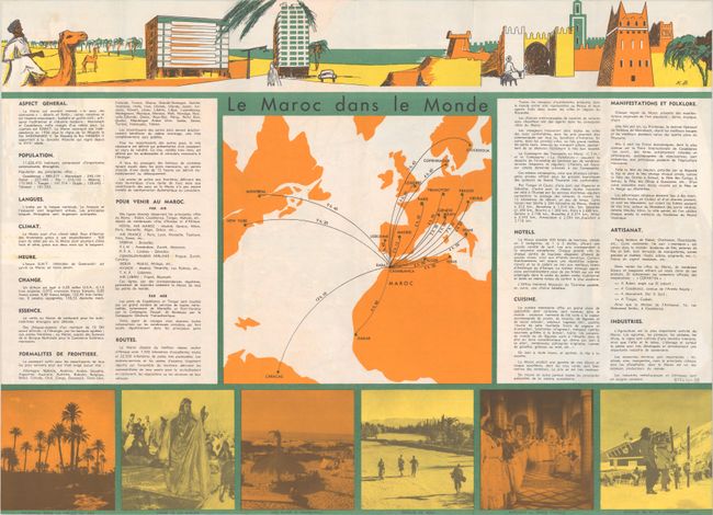
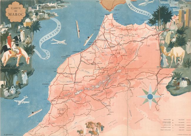
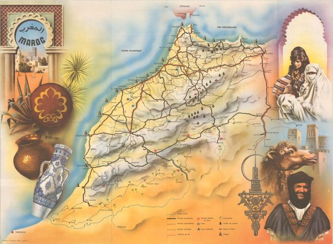
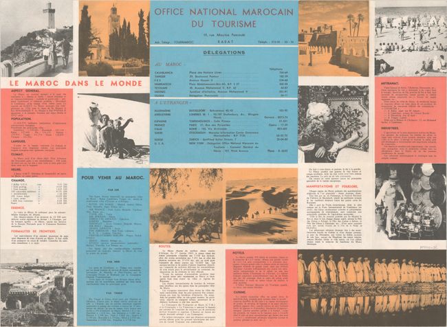
"[Lot of 3] Maroc Touristique Provinces du Nord [and] Carte du Maroc [and] Maroc",

Subject: Morocco

Period: 1955-63 (dated)

Publication:

Color: Printed Color

Size:
23.6 x 16.9 inches
59.9 x 42.9 cm
Download High Resolution Image
(or just click on image to launch the Zoom viewer)

This is a superb lot of three French tourist maps of Morocco, issued by the "Office National Marocain du Tourisme." The maps highlight the key cities, roads, and railroads to assist travelers in planning their trip. Two of the maps also locate hotels, lakes, artificial lakes, palm groves, cedar forests, winter sports and beaches. Each map is surrounded by lovely vignettes created by French painters that showcase the vibrant people, places, and culture to be found in Morocco.

A. Maroc Touristique Provinces du Nord, by Jean Gaston Mantel, dated 1958. The verso includes photographic images, general tourist information, and a map showing routes from Casablanca to various cities in Europe, North America and South America. Published by Gaillard-Maroc.
B. Carte du Maroc, by Robert A. Genicot, dated 1955. On verso is a large table of distances between the major cities in Morocco. Published by E. Desfosses-Neogravure in Paris.
C. Maroc, by R. Ravier, dated 1963. The verso features photographic images and panels of general tourist information, including the locations of Moroccan delegates in Morocco and abroad. Published by Ideale in Casablanca.

References:

Condition: A+

Clean and bright, issued folding. The first map has a few tiny spots of foxing at far right.

Estimate: $350 - $425

Sold for: $250

Closed on 11/17/2021

Archived