Catalog Archive
Auction 185, Lot 115

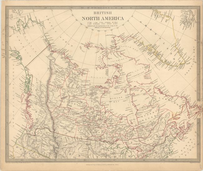
"[Lot of 2] British and Russian America [and] British North America",

Subject: Canada

Period: 1834-40 (circa)

Publication:

Color: Hand Color

Size:
See Description
Download High Resolution Image
(or just click on image to launch the Zoom viewer)
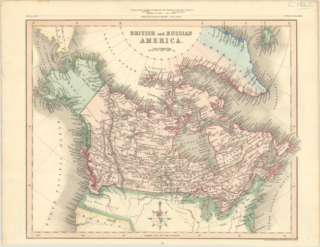
A. British and Russian America, by Joshua Archer, circa 1840 (11.4 x 9.1"). This handsome atlas map of Canada extends to include Russian America (Alaska), Greenland, Iceland, and a portion of Asia across the Bering Strait. There is fine detail of much of Canada, including place names, rivers, lakes, and other topographical details, but the Arctic regions are incompletely mapped. Given that the map was published in London, it is no surprise that Canada's southern boundary falls along the Columbia River, reflecting British claims in the region. The map depicts part of the United States with sparse detail, although New Albion, Youta or Gt. Salt L., and some Indian tribes are named. The comparative lengths of England and the region covered on the map are illustrated above the upper neatline. Condition: Contemporary color with a bit of toning along the sheet's edges. (A)

B. British North America, by SDUK Society for the Diffusion of Useful Knowledge, dated 1834 (16.1 x 12.5"). This steel engraved map covers all of present-day Canada with its southern boundary with the United States extending to the Columbia River, illustrating British claims in the region. The Canadian Arctic region is largely unmapped and much of the interior is shown with limited detail, attesting to the knowledge of the day. Alaska is Russian America and it is shown with no internal detail. Keyboard style borders. Engraved by J. & C. Walker. Published by Baldwin & Cradock. Condition: Contemporary outline color with light toning and soiling that is mostly confined to the sheet's edges. (B+)

References:

Condition:

See description above.

Estimate: $100 - $130

Sold for: $170

Closed on 11/17/2021

Archived