Catalog Archive
Auction 184, Lot 95

"America", Thomson, John

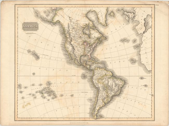
Subject: Western Hemisphere - America

Period: 1813 (circa)

Publication: New General Atlas

Color: Hand Color

Size:
23.5 x 19.5 inches
59.7 x 49.5 cm
Download High Resolution Image
(or just click on image to launch the Zoom viewer)

In Thomson's style, this well engraved map shows the latest discoveries including those of Mackenzie, Hearne, and Lewis & Clark. The map extends to include the coasts of Europe and West Africa, and it presents good detail of islands in the eastern portion of the South Pacific. The United States is shown north of East and West Florida, and east of the Mississippi River. The land west of the Mississippi is called Louisiana and the northwest portion of the continent contains limited detail. Hawaii is named Sandwich Isles and Aliaska is in a rudimentary shape.

References: Phillips (Atlases) #731-52.

Condition: B

Contemporary color with light offsetting, a few faint damp stains, and a small ink spot at lower left.

Estimate: $160 - $190

Sold for: $120

Closed on 9/15/2021

Archived