Catalog Archive
Auction 184, Lot 134

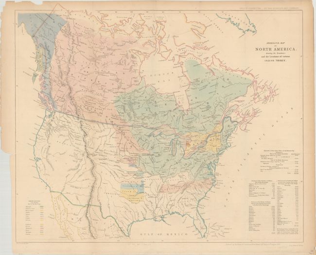
"Aboriginal Map of North America, Denoting the Boundaries and the Locations of Various Indian Tribes", Arrowsmith, John

Subject: United States & Canada

Period: 1857 (dated)

Publication:

Color: Hand Color

Size:
22.3 x 18.6 inches
56.6 x 47.2 cm
Download High Resolution Image
(or just click on image to launch the Zoom viewer)

This map appears to be based upon an earlier map (1844) published by the Religious Society of Friends entitled A Map of North America, Denoting the Boundaries of the Yearly Meetings of Friends and the Locations of the Various Indian Tribes. It shows the known tribes in all of Canada and the eastern United States with a color-coded key at bottom left locating 11 different tribes. The Catawba, Uchee, and Natchez Indians are noted as extinct. A table at bottom right indicates the native populations by region. Issued in a British report for the "Select Committee...On the Hudson's Bay Company." Printed by Henry Hansard.

References:

Condition: B+

Issued folding with faint offsetting and several short fold separations at top that have been closed on verso with archival tape.

Estimate: $275 - $350

Sold for: $325

Closed on 9/15/2021

Archived