Catalog Archive
Auction 183, Lot 482
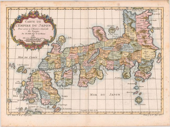
"Carte de l'Empire du Japon pour Servir a l'Histoire Generale des Voyages", Bellin, Jacques Nicolas
Subject: Japan
Period: 1752 (dated)
Publication: La Harpe's Abrege de l'Histoire Generale des Voyages
Color: Hand Color
Size:
12.3 x 8.4 inches
31.2 x 21.3 cm
Download High Resolution Image
(or just click on image to launch the Zoom viewer)
(or just click on image to launch the Zoom viewer)