Catalog Archive
Auction 183, Lot 336
"Britanniae Antiquae Tabula Geographica ex Aevi Romani Monumentis...", Horseley, John
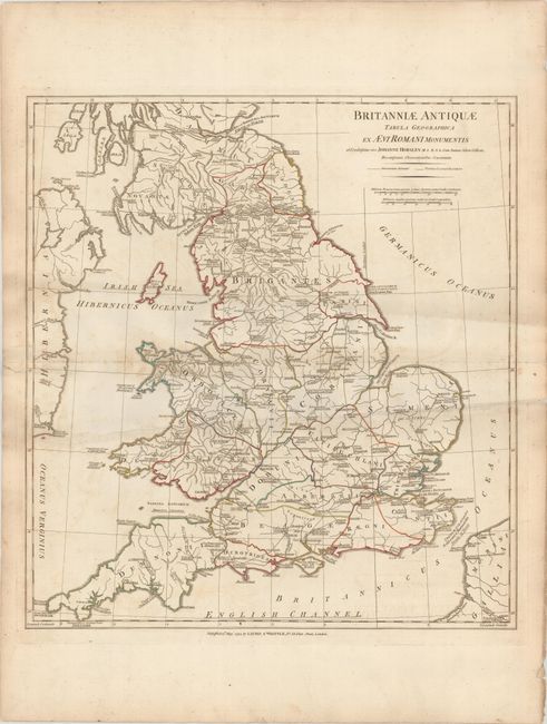
Subject: England & Wales
Period: 1794 (dated)
Publication:
Color: Hand Color
Size:
19.5 x 21.2 inches
49.5 x 53.8 cm
Download High Resolution Image
(or just click on image to launch the Zoom viewer)
(or just click on image to launch the Zoom viewer)