Catalog Archive
Auction 183, Lot 332

"London", Bartholomew, John

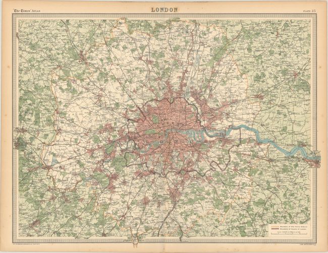
Subject: London, England

Period: 1922 (circa)

Publication: The Times Survey Atlas of the World

Color: Printed Color

Size:
21.9 x 16.7 inches
55.6 x 42.4 cm
Download High Resolution Image
(or just click on image to launch the Zoom viewer)

This handsome atlas map centers on a detailed plan of London and extends to include the surrounding suburbs. It spans from Slough east to Gravesend and from the southeast edge of Hertfordshire south to Leatherhead. The city's streets, neighborhoods, railways, palaces, parks, docks, and more are identified. Buckingham Palace, London Bridge, the Tower of London, Westminster Abbey, Hyde Park, St. Paul's Cathedral, and various other sites of interest are located. A key at bottom right notes the boundaries of the city police district and the county of London. Prepared by John Bartholomew & Co. at the Edinburgh Geographical Institute for inclusion in The Times Survey Atlas of the World.

References: Rumsey #2113.027.

Condition: B+

Light toning along the centerfold and edges of the sheet with a couple of short edge tears.

Estimate: $100 - $130

Sold for: $75

Closed on 6/9/2021

Archived