Catalog Archive
Auction 183, Lot 317

"Summa Europae Antiquae Descriptio", Cluver, Philipp
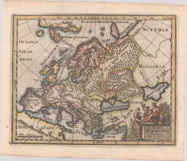
Subject: Europe

Period: 1729 (circa)

Publication: Introductio in Universam Geographiam

Color: Hand Color

Size:
10 x 8 inches
25.4 x 20.3 cm
Download High Resolution Image
(or just click on image to launch the Zoom viewer)

This map of Europe shows its ancient divisions, as it was in the time of the Roman emperors, and is fully engraved with forests. In the Arctic Ocean are a landmass labeled Cronia and an island labeled Carambuce Ins. The title cartouche is topped with allegorical female figures.

Cluver's Introductio in Universam Geographicam was a popular atlas, appearing in over 45 editions during a 100-year period. The first edition was published without maps in the 1620s, and the first edition to include maps was published circa 1641. The various editions were published in different cities throughout Europe, including Amsterdam, Nuremberg, and London.

References: Shirley (BL Atlases) T.CLUV-8b.

Condition: A

A dark impression with a couple minor spots and printer's ink residue.

Estimate: $120 - $150

Sold for: $90

Closed on 6/9/2021

Archived