Catalog Archive
Auction 183, Lot 212

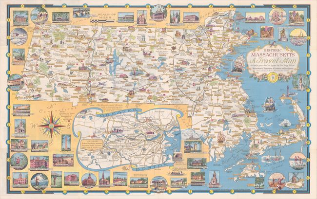
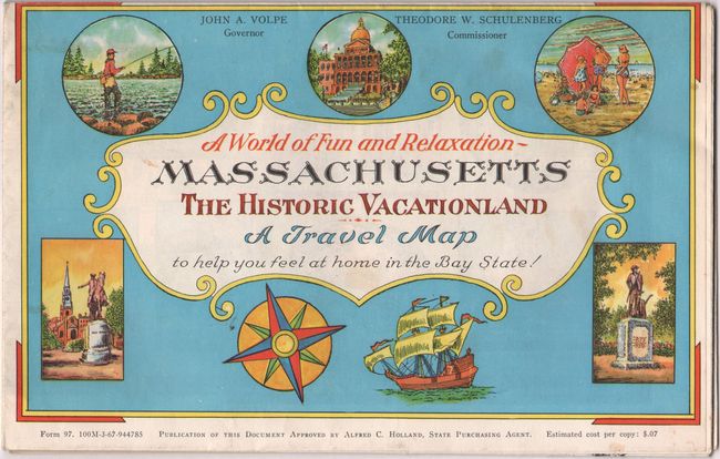
"Historic Massachusetts A Travel Map...",

Subject: Massachusetts

Period: 1964 (circa)

Publication:

Color: Printed Color

Size:
32.6 x 20.4 inches
82.8 x 51.8 cm
Download High Resolution Image
(or just click on image to launch the Zoom viewer)

This colorful pictorial map of the state was designed "to help you feel at home in the Bay State" and includes numerous illustrations of important buildings, recreational activities, natural features, and copious notations. Below the map is an inset of the Greater Boston area with the major roads and cities identified. The entire sheet is surrounded by vignettes of local attractions including the Boston Public Library, Bunker Hill monument, Nantucket, and "A typical Mass. Motel." Related text and illustrations on verso. Designed and drawn by Ernest Dudley Chase, who was a leader in pictorial mapmaking during the middle 20th century.

References: Hornsby (Picturing America) pp. 31-34.

Condition: A

A colorful example, issued folding.

Estimate: $70 - $90

Sold for: $50

Closed on 6/9/2021

Archived