Catalog Archive
Auction 183, Lot 126

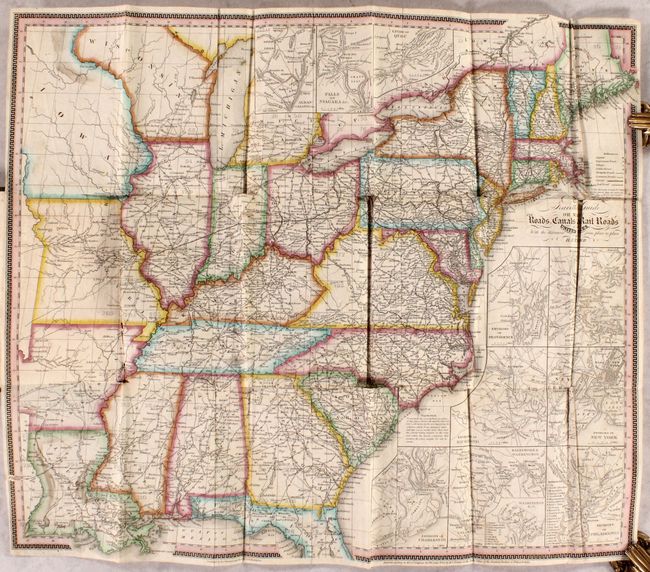
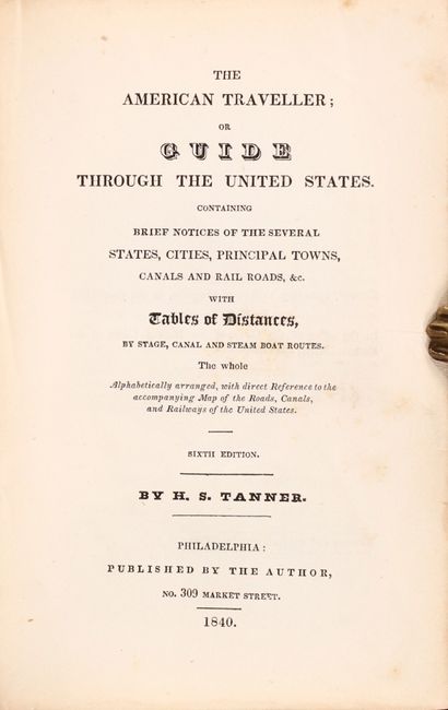
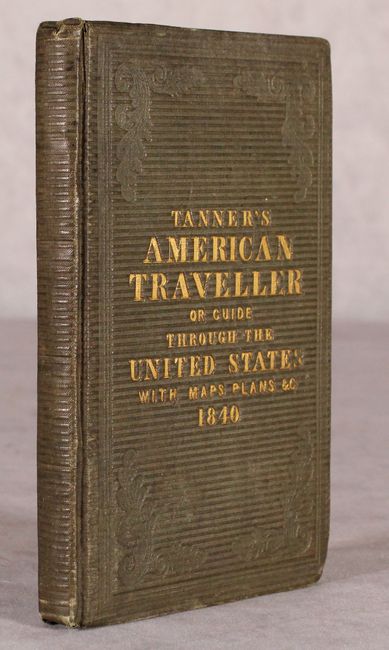
"The Travellers Guide or Map of the Roads, Canals & Rail Roads of the United States... [in] The American Traveller; or Guide Through the United States...", Tanner, Henry Schenck

Subject: Eastern United States

Period: 1840 (published)

Publication:

Color: Hand Color

Size:
21.3 x 18.3 inches
54.1 x 46.5 cm
Download High Resolution Image
(or just click on image to launch the Zoom viewer)

This handsome and detailed map depicts the eastern United States, stretching west of the Mississippi River to include Louisiana, Arkansas, Missouri, and an oversized Iowa Territory. The map locates capitals, important towns, villages, public houses, turnpike and common roads, canals and railroads. Distances between towns are also noted. A numbered grid overlaying the map keys to the accompanying guide. Includes 11 inset maps of major cities including Charleston, Richmond, Washington, Quebec and more. The accompanying pocket traveler's guide features three (of four) double-page plans of major American cities including Baltimore, Boston, and New York (missing Philadelphia). As Tanner emphasizes in his preface, the work is a concise collection of facts useful to the traveler: population figures; distances; stagecoach, canal, and steamboat routes between major cities; "principal object of curiosity" in or around larger towns; and more. 144 pages. Hardbound in brown cloth boards with gilt title on the front cover (4.5 x 6.8"). Sixth edition.

References:

Condition: B

Issued folding with numerous fold separations and small loss at one fold junction (southwestern Pennsylvania). One page of the guide text describing Philadelphia is torn with half the page missing. Covers are lightly worn with bumped corners.

Estimate: $750 - $900

Sold for: $400

Closed on 6/9/2021

Archived