Catalog Archive
Auction 183, Lot 123

"United States", Fullarton, Archibald & Co.

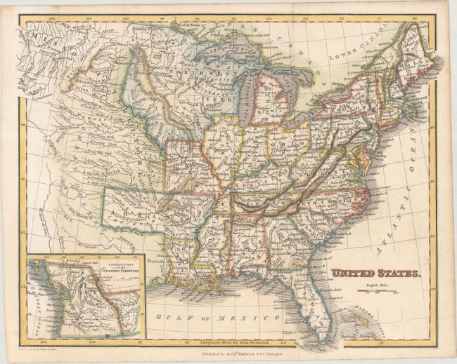
Subject: Eastern United States

Period: 1830 (circa)

Publication:

Color: Hand Color

Size:
10.2 x 8 inches
25.9 x 20.3 cm
Download High Resolution Image
(or just click on image to launch the Zoom viewer)

An attractive map of the eastern United States stretching to the large Northwest and Missouri territories on the frontier. Arkansas Territory is shown in its largest configuration including present-day Oklahoma, and the state of Missouri is shown with a flat western border (which it held until 1837 and the Platte Purchase). The map presents good detail of the river systems, topography, and Indian tribes in the west. An inset at bottom includes a "Continuation of the Western Territory" that shows Oregon Country extending well into present-day Canada reflecting U.S. claims in the region (a fairly unusual position for a Scottish publisher to present).

References:

Condition: B+

Issued folding on a mostly clean sheet with a very faint dampstain at bottom.

Estimate: $160 - $190

Sold for: $140

Closed on 6/9/2021

Archived