Catalog Archive
Auction 182, Lot 85

"Amerique ", Cortambert, Eugene

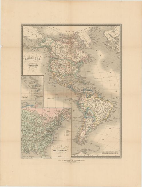
Subject: Western Hemisphere - America

Period: 1864 (dated)

Publication:

Color: Hand Color

Size:
14 x 18.5 inches
35.6 x 47 cm
Download High Resolution Image
(or just click on image to launch the Zoom viewer)

Uncommon Civil War era map of the Americas showing the political divisions and locations of native tribes. The western United States consists of the large territories of Washington, Oregon, Utah, New Mexico and Nebraska. Arizona occupies the southern portion of New Mexico Territory but is not delineated. Includes a small inset of the Antilles and a large one of the eastern parts of the United States and Canada. Decorated by fancy titling and a keyboard-style border. Published by Boulanger & Legrand in Paris.

References:

Condition: B+

Issued folding with light toning along the fold lines. A couple of short edge tears confined to the left blank margin have been closed on verso with archival tape.

Estimate: $100 - $130

Sold for: $50

Closed on 4/28/2021

Archived