Catalog Archive
Auction 182, Lot 798

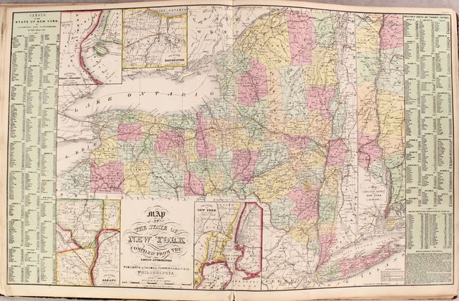
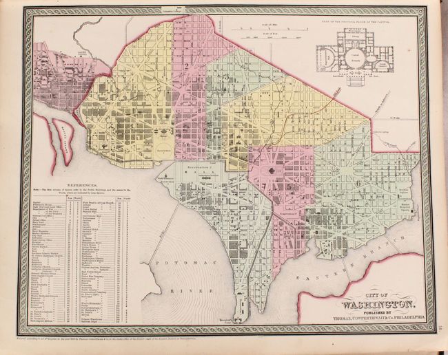
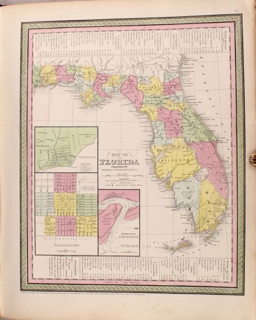
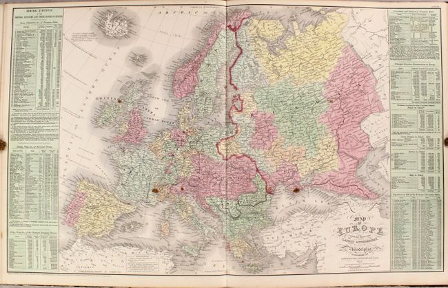
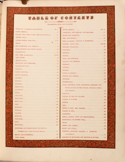
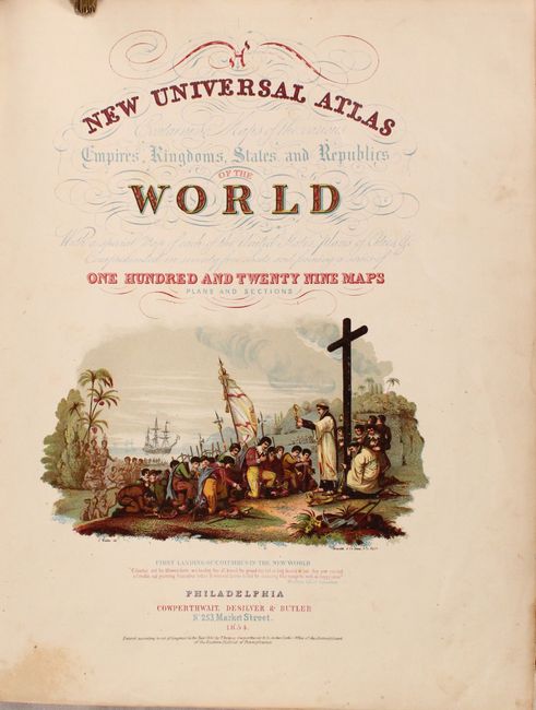
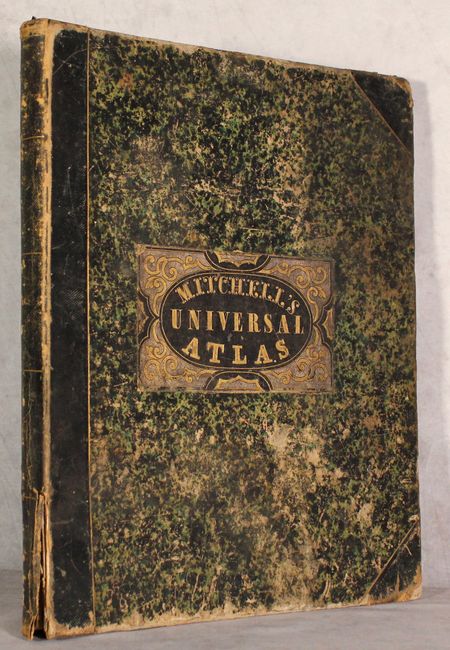
Cowperthwait's Desirable Atlas Emphasizing the American Continent

"A New Universal Atlas Containing Maps of the Various Empires, Kingdoms, States and Republics of the World...", Cowperthwait, Desilver & Butler

Subject: Atlases

Period: 1854 (published)

Publication:

Color: Hand Color

Size:
14 x 17.5 inches
35.6 x 44.5 cm
Download High Resolution Image
(or just click on image to launch the Zoom viewer)

The title continues "With a special map of each of the United States, Plans of Cities &c. Comprehended in seventy five sheets and forming a series of one hundred and twenty two Maps Plans and Sections." This is a famous and highly sought-after atlas, with 70 (out of 72) maps of the world, North America and the other continents, Oceanica, the United States and its territories, and numerous city plans. The atlas concentrates mainly on the American continent, and features many important and desirable maps including several double-page maps. Only the map of New Hampshire/Vermont and the comparative chart of mountains and rivers are missing.

The map of Texas is one of the most influential atlas maps of the period. It depicts the new boundaries that were determined by the Compromise of 1850. The organized counties extend only to Cooke in the north and Kinney in the southwest. The western edge of the frontier is marked with a line of army forts separating the settled region from the vast area noted as rolling table lands and desolate plains Destitute of Timber. This area is largely the range of Apache, Kiowa, Comanche and Lipan Indians. Wagon roads, springs, and trails are identified, including the Comanche War Trail, Connelly's Trail and the Emigrant's Route. Tiny flags locate important battlefields in both the Texas war for independence and the Mexican American war. Descriptive explanations and notes make this map an interesting study. A table provides statistics according to the Census of 1850 including the population by ethnic groups, e.g. "Free Colored males" is given as 171. There are insets of Northern Texas, noting the northern boundary at Lat. 36° 30', as resolved in the Compromise of 1850 and the vicinity of Galveston City.

The spectacular map of the West has Oregon and Washington extending to the Continental Divide, the huge Utah Territory extends from California to Indian Territory, and New Mexico occupies all of the Southwest with a pre-Gadsden Purchase border. The double-page map of the United States features the same borders in the West, plus a large inset map of the "Gold Region of California." The map of Minnesota features the large territories of Pembina and Blue Earth extending to the Missouri River. The frontispiece is a hand-colored, engraved diagram showing the lengths of rivers and heights of mountains. The title page includes a fine chromolithographic image titled "First Landing of Columbus in the New World." The atlas includes three double-page maps: the United States, New York, and Europe.

Folio, chromolithographed pictorial title page depicting Columbus' arrival in the New World, table of contents printed in red and gilt color, 70 map sheets comprising 3 double-page and 67 single-page maps. Partially disbound; in original quarter black leather with tips over green and black marbled paper boards. Black leather label on front cover with gilt title and design. Published by Cowperthwait, Desilver & Butler at. No. 253 Market Street, Philadelphia. This is the first year that Desilver and Butler joined Cowperthwait as publishers.

References:

Condition:

The vast majority of the maps are in excellent condition (A) and are overall clean and bright with bold hand color, minor toning along the edges of the sheets, and occasional minor soiling. A dampstain affects the fore-edge in the back half of the volume, which is confined to the blank margin on nearly all the maps. The U.S. map has a 3" tear and a 2" centerfold separation at bottom. The maps of India and Venezuela have 1-2" edge tears, and the map of Greece has an 8" tear. There are small stains on the maps of Europe, Arabia, and Egypt. The title page has light soiling. The text block is essentially detached from the covers, with the first signature separated from the rest of the text block and the map of the United States completely loose. The covers show moderate wear with bumped corners, abrasions, and small chips, but are still in solid condition. The leather on the spine is partially torn. Considering the condition of the maps, this is an excellent candidate for professional rebinding.

Estimate: $1,900 - $2,200

Sold for: $2,750

Closed on 4/28/2021

Archived