Catalog Archive
Auction 182, Lot 494

"Le Comte de Flandre ou se Trouvent les Environs de Donquerque, Nieuport, Ostende, Bruges Gand, Oudenarde, Tournay Lille, Yppes, et Courtray...", Fer, Nicolas de
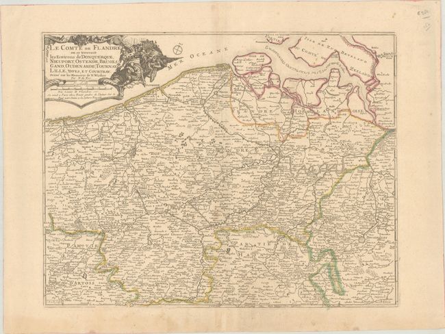
Subject: Belgium

Period: 1709 (circa)

Publication: Atlas ou Recueil de Cartes Geographiques...

Color: Hand Color

Size:
19.2 x 14.9 inches
48.8 x 37.8 cm
Download High Resolution Image
(or just click on image to launch the Zoom viewer)

This elegantly engraved map identifies French, Spanish, and Dutch Flanders. It extends as far north as Bergen op Zoom in the southern Netherlands and as far south as Douai in northern France. Several towns and cities are named, among them Ostend, Bruge, Ghent, Antwerp, and Brussels. The decorative title cartouche incorporates a striking vignette of a battle scene and a distance scale. A small compass rose to the right of the title cartouche orients north to the top right corner of the map. Engraved by Charles Inselin. Published by Guillaume Danet in Paris

References: Pastoureau, FER II C [42].

Condition: B+

Contemporary outline color on a sheet with a large watermark of a Maltese cross encircled in rosary beads. There are some small spots at top right, light soiling, and a bit of toning along the centerfold. Two pairs of wormholes and an edge tear in the bottom blank margin have been archivally repaired on verso.

Estimate: $240 - $300

Unsold

Closed on 4/28/2021

Archived