Catalog Archive
Auction 182, Lot 485

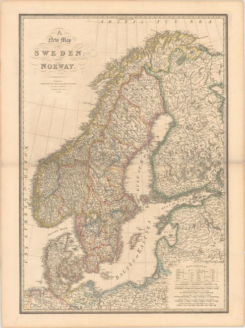
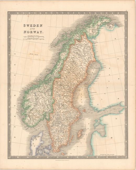
"[Lot of 2] A New Map of Sweden, and Norway [and] Sweden and Norway",

Subject: Scandinavia

Period: 1835-40 (circa)

Publication:

Color: Hand Color

Size:
See Description
Download High Resolution Image
(or just click on image to launch the Zoom viewer)

A. A New Map of Sweden, and Norway, by James Wyld, dated 1840 (19.9 x 28.5"). This very handsome map of Scandinavia is filled with immense detail including roads and many named towns. Condition: Contemporary outline color printed on a sturdy sheet with light toning and offsetting. There are short centerfold separations confined to the blank margins that have been archivally repaired on verso.

B. Sweden and Norway, by Henry Teesdale, from A New General Atlas..., circa 1835 (13.3 x 16.3"). This atlas map of Sweden and Norway is filled with details of towns, political boundaries, lakes, rivers, and topography. Drawn and engraved by John Dower. Condition: Contemporary outline color with light offsetting and some small spots.

References:

Condition: B+

See description above.

Estimate: $180 - $210

Sold for: $100

Closed on 4/28/2021

Archived