Catalog Archive
Auction 182, Lot 472

"Cardigan Shyre Described with the Due Forme of the Shire-town As It Was Surveyed by I.S. Anno 1610", Speed, John

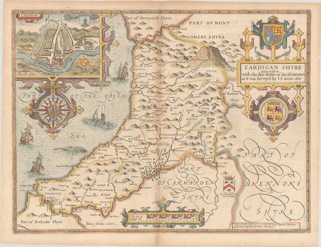
Subject: Central Wales

Period: 1676 (published)

Publication: The Theatre of the Empire of Great Britaine

Color: Hand Color

Size:
20.1 x 15.1 inches
51.1 x 38.4 cm
Download High Resolution Image
(or just click on image to launch the Zoom viewer)

This ornate map of Ceredigion (or Cardiganshire) was engraved by Jodocus Hondius. It includes three decorative strapwork cartouches: one for the title, which features coats-of-arms and peacocks; one for the distance scale; and one encasing an inset plan of Cardigan. The inset plan shows the Cardigan Castle and the college. The map itself locates towns, hills, forests, rivers, and lakes. In the Irish Sea, there are sailing ships, sea monsters, and an elaborate compass rose with the Prince of Wales feathers at center. English text on verso, published in 1676 by Thomas Bassett and Richard Chiswell.

John Speed is best known for this important atlas of Great Britain, which is considered the finest achievement in British map-making. Speed assembled the information for this atlas based on the work of Christopher Saxton and John Norden, updated with new information. He also introduced innovations of his own including the inclusion of town plans, indications of the hundreds, county boundaries, and the coats of arms of local Earls and Dukes. The maps were finely engraved by Jodocus Hondius, one of the preeminent engravers of the period.

References: Shirley (BL Atlases) T.SPE-1j.

Condition: B+

A nice impression on a sheet with a fleur-de-lis watermark. There is light toning along the centerfold and the sheet's edges.

Estimate: $350 - $425

Sold for: $250

Closed on 4/28/2021

Archived